Yesterday, I saw this at the stop on Pike & 3rd:
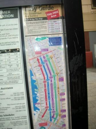
Since you probably can’t see for yourself, thanks to my sorry picture (hey–the bus was coming) and the PI’s file-size limits (compression is not a blogger’s friend), it’s a map of the Ride-Free zone. It shows which buses go down all of the major downtown streets, and there are arrows that indicate which direction each street runs.
We likey!